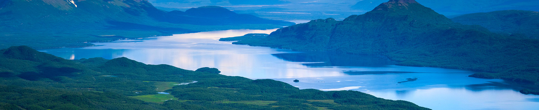
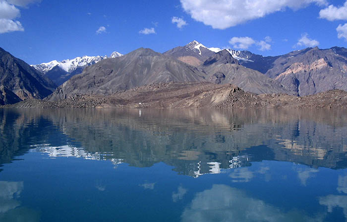
Sarez Lake is a lake in Rushon District of Gorno-Badakhshan province, Tajikistan.
Length 55.8 km; absolute surface height 3,263 m; maximum width 3.3 km; maximum depth 500 m; maximum water volume 16,074 km3; received balance 47.1 m3/s = 1,487 million m3/year; surged balance 47.7 m3/s = 1,505 million m3/year; maximum seasonal fluctuation of the lake level 12 m.
The lake formed in 1911, after a great earthquake, when the Murghab River was blocked by a big landslide. Scientists believe that the landslide dam formed by the earthquake, known as the Usoi Dam, is unstable given local seismicity, and that the terrain below the lake is in danger of catastrophic flood if the dam were to fail during a future earthquake.
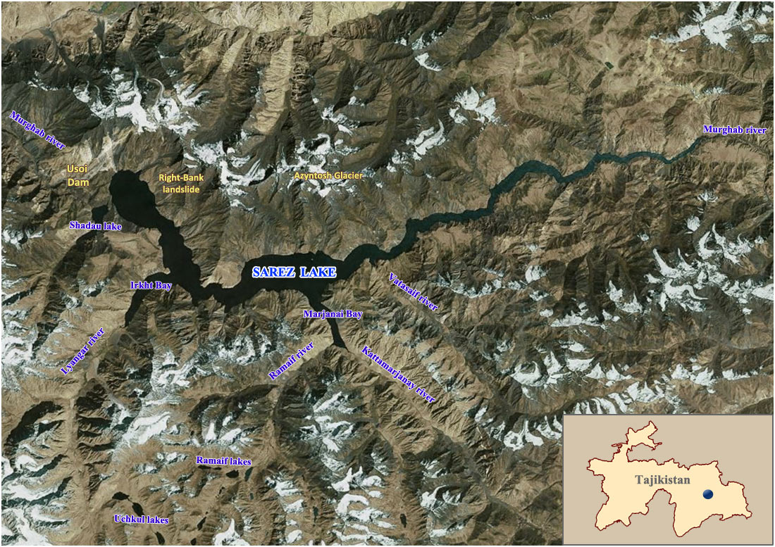
Review scheme of Sarez Lake location
(source: SIC ICWC)
